| COOPERATIVE CONSERVATION CASE STUDY | | LANDFIRE | | Mapping Tool Targets Areas for Hazardous Fuels Reduction | | Location: National | | Project Summary: LANDFIRE is a multi-organization partnership to identify and prioritize areas for, and improve coordination on, hazardous fuel reduction. |
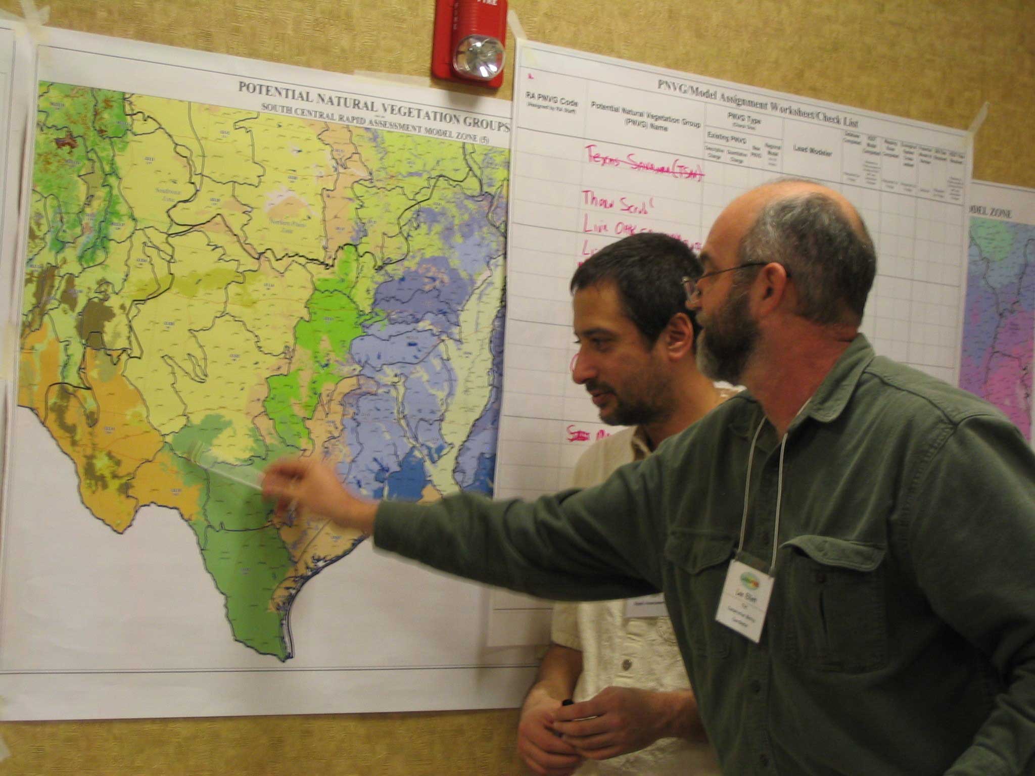
|  | | Discussing mapping techniques during the Rapid Assessment Modeling workshop in Little Rock, Arkansas. |
|
Resource Challenge
The Landscape Fire and Resource Management Planning Tools Project (LANDFIRE), is a 5-year, multi-partner project to map ecosystems and wildland fire fuels. It is an outgrowth of the National Fire Plan, which moves the Nation toward reducing the number of wildland fires by controlling excessive vegetation and fuels that feed destructive fires.
LANDFIRE began after federal land agencies asked for maps to identify and prioritize areas for hazardous fuel reduction. LANDFIRE will provide consistent, nationwide fuel and vegetation data to help:
-
Identify areas at risk from excessive fuels and vegetation.
-
Prioritize hazardous fuel reduction projects.
-
Improve fuels treatment coordination between agencies.
-
Monitor completed projects.
LANDFIRE data and models can be used at the national, regional, and local levels. Principle investigators are located at the USDA Forest Service Rocky Mountain Research Station Fire Sciences Laboratory in Missoula, Montana and at the U.S. Geological Survey (USGS) National Center for Earth Resources Observation and Science in Sioux Falls, South Dakota. The Nature Conservancy and other organizations are providing field data and valuable scientific expertise and technology transfer skills. Sponsored by the Wildland Fire Leadership Council, LANDFIRE operates primarily from USDA Forest Service and USGS funding.
| Examples of Key Partners
U.S. Geological Survey, USDA Forest Service, USDI Bureau of Indian Affairs, USDI Bureau of Land Management, USDI Fish and Wildlife Service, USDI National Park Service, Federal Emergency Management Agency, The Nature Conservancy, Student Conservation Association, NatureServe, Systems for Environmental Management., SANBORN, EarthSat, Science Application International Corp., National Association of State Foresters, National Association of County Officials.
|
| Results and Accomplishments
The LANDFIRE team is currently developing geographic data on vegetation cover types and structure characteristics, biophysical settings such as elevation and slope, wildland fuel models, fire history, and fire regime condition classes. As of March 2005, the project team had compiled data contributed by various agency and non-governmental cooperators from more than 230,000 field plots.
Ultimately, LANDFIRE will deliver more than twenty geospatial layers for the entire United States, which will be readily available over the Internet. LANDFIRE maps will be available for the entire U.S., showing:
The Southern Utah Color Country Fuels Assessment is currently working with the . rst data to be included as a part of the national implementation of LANDFIRE. Vegetation modeling and technology transfer workshops for . eld personnel will begin this year.
|
|
Innovation/Highlight LANDFIRE integrates remote sensing, geographic information systems, databases, and applied science to help land managers assess and prioritize fuel treatments to help prevent wildfires. |
| |
 Land Conservation
 Conservation
 Arkansas
 California
 Colorado
 Houston
 Idaho
Idaho Louisiana
 Maine
Maine Mississippi
 Habitat
 Land Conservation
 Conservation
 Arkansas
 California
 Colorado
 Houston
 Idaho
Idaho Louisiana
 Maine
Maine Mississippi
 Habitat